
2016. May 05.
The engineering surveying conference was organized for the second time by the Department of Geodesy and Surveying and the Surveying and Geo-information Division of the Hungarian Chamber of Engineers.
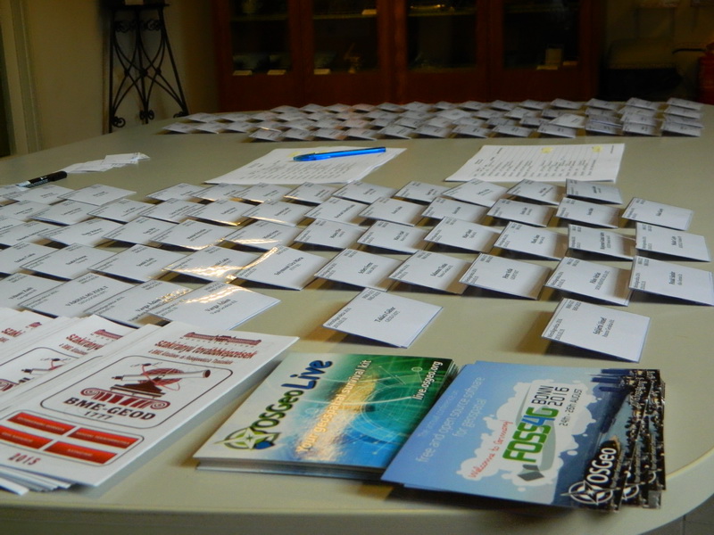
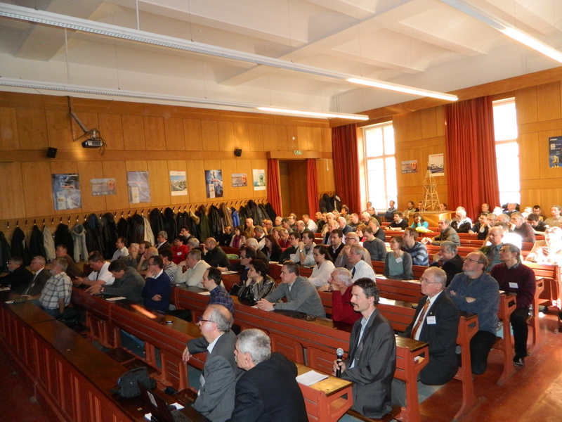
This conference was also the first advanced studies of the entitled engineers after the change of the regulation in 2015, accredited by the Hungarian Chambers of Engineers. The huge interest is shonw by the fact, that the maximum number of candidates (130) was filled within 2 days.
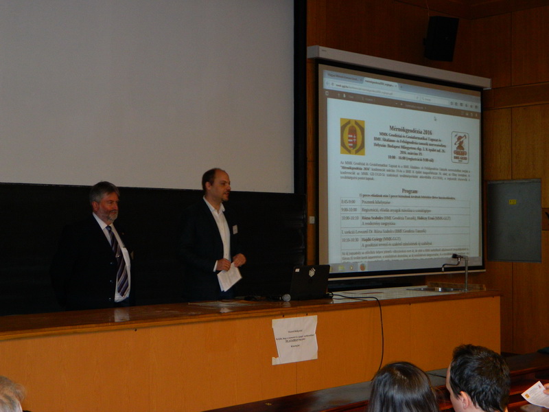
In addition to the experts with decades long experience there were young lecturers, too. After the opening presentation of Szabolcs Rózsa (Head of the Department) and Ernő Holéczy (president of division) there were 12 presentations and 6 poster presentations could be seen in the breaks.
The presentations showed up-to-date surveying technologies and devices (for example InSAR, drones, LiDAR, point cloud processing, robotic observation) development and applying experiences. Over that, more presentations represented the legislation and the deficiency of it, two presenter dealt with the legal problems of engineering geodesy.
György Hajdú (vice-president of the division) talked about the new qualification system of engineering surveying, Ernő Holéczy (president of the division) dealt with the anomalies of the legislation dumping. Sándor Baranya represented the civil engineering co-areas with a presentation about the up-to-date measuring methods of the river flow and morphodynamic processes and their geodesy relations. Bence Ambrus (MSc student) presented a motion test method based on the radar recordings of satellites by a practical example. Tamás Király (Pannon Geodézia Ltd) compared traditional (GNSS, totalstation) and mobile laser scanner technologies.
Advanced technologies for industrial plants using geodetic engineering activities was presented by József Wéber and Katalin Jánossy (Wéber 2000 Ltd). They showed geodetic activities undertaken during the salvage and restoration works of a burnt tube furnace. András Németh (Pa Ltd) provided an overview of engineering geodesy and IT modernization in the Paks Nuclear Power Plant. Veronika Szép (Hungeod Ltd) represented the surveying works of ELI leaser centre of Szeged.
In the next group of presentations the up-to-date technologies got the main role over the practical experiences. Péter Kunfalvi (Geodézia Ltd) showed the applying opportunities at road survey of their mobile mapping system. Zoltán Siki (Department of Geodesy and Surveying) and Dávid Bánhidi (BSc student) presented the open source monitoring system developed at the department. Zsolt Vidovenyecz (Mott MacDonald Magyarország Ltd) represented the building information modelling (BIM) and its application through foreign examples. It is expected that BIM leads the whole civil engineering professional to 3D designing solutions. In the final lecture Endre Körmendy (Geoservice Ltd) showed the application experiences of unmanned aerial vehicles at photogrammetry.
Presentations and videos are available at the homepage of the Surveying and Geo-information Division of the Hungarian Chamber of Engineers.
|
Changes of the engineer surveying entitlements According to the 266/2013. (VII.11.) Gov. regulation the engineering surveying designing and expert activity get out of the building and construction matters professional practice activities. The 1434/2013. (VII. 11.) Gov. resolution referred the regulation to the authority of the Minister of Rural Development in a cooperation with the Hungarian Chamber of Engineers. So after two years of the original deadline finally the regulation of engineering surveying qualification is finished. At the 10th of November 2015 the 327/2015.(XI.10.) Government Regulation was published. This made the end of the two years long moratorium, while experts could not get entitlements. So the training obligations of the Surveying and Geo-information Division of the Hungarian Chamber of Engineers has restarted. |