2018. January 27.
It was the third year in a row that the Department of Geodesy and Surveying and the Surveying and Geo-information Division of the Hungarian Chamber of Engineers have organized the Engineering Surveying Conference.
This professional event is unique among the conferences in the field of land surveying in the sense that it aims to present the latest achievements, innovative solutions and exemplary professional know-how of engineering surveying. The organizers invited not only surveyors as conference presenters but also involved representatives from joint professional fields whose work is associated with current issues of engineering surveying. This year civil engineer Nándor Kolozsvári gave a lecture on Road Construction Regulations law and the relevant technical specifications along with practical aspects, which appealed to a wide audience and generated a lively discussion.
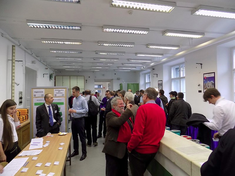
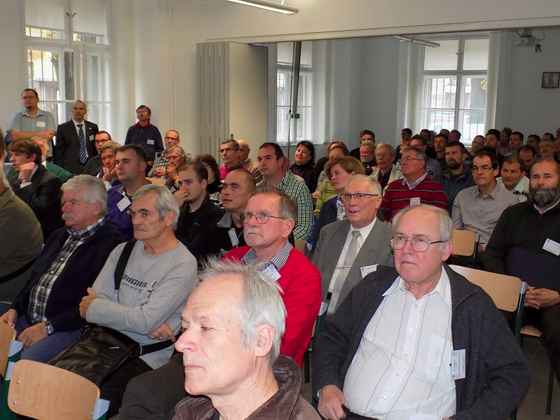
The conference location was the Rédey and Bodola comparator room of the Department, where nearly 100 participants could be hosted in a modern environment.
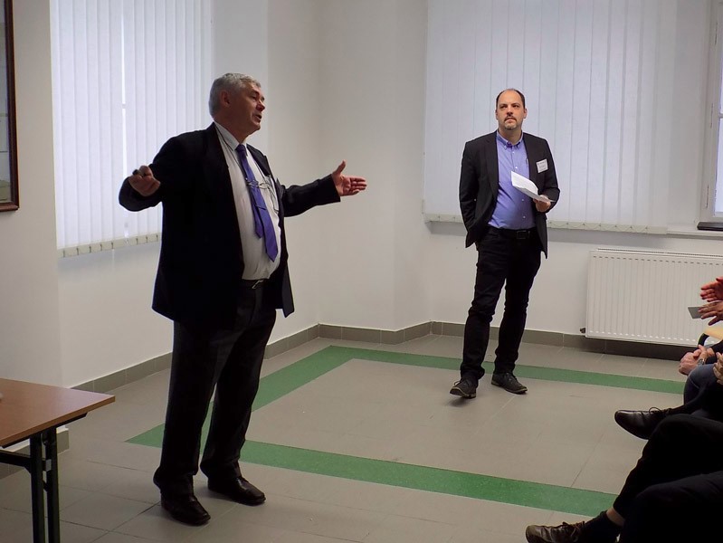
Alongside the 10 lecture presentations the conference also included a poster section with 5 poster presentations. Each presentation was followed by questions and comments, which produced a lively debate at some points. Next to the highly-trained professional lecturers, the organizers followed the tradition of also giving a voice to young presenters, so two students of the faculty were also on the conference programme. MSc student Ágnes Ács presented the results of her BSc diploma project and TDK paper, while Tibor Kalmár co-presented interesting parts of his BSc diploma project with his consultant.
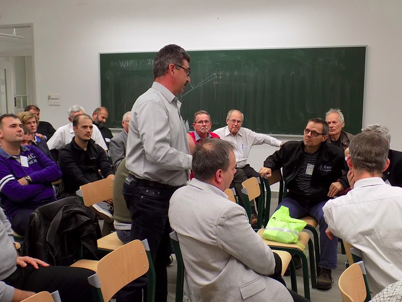
The presentations were followed by a panel discussion, where participants discussed and debated on the issues of the attending three professional fields.
- János Magyar (FTVV Ltd): Geodetic control of steel chimney relocation in the Danube refinery
- Nándor Kolozsvári (INNOTESZT Ltd): Opportunities and Challenges in the Road Construction Regulations (KÉSZ)
- Bence Takács and Zoltán Siki (BME ÁFGT): Engineering surveying networks and application experiences
- József Lennert (PhgSys Ltd): Controling experience in engineering surveying tasks
- Csaba Égető and Tibor Kalmár (BME ÁFGT): Height transmission techniques over a river and their comparison
- Ágnes Ács (BME): Use of interferometer for calibration purposes
- József Wéber and Tamás Czuczai (Wéber 2000 Ltd): Surveying measurements of a damaged tank
- Albert Kiss (Talppont Ltd): Characteristics and precision risks occurring in the size control of building structures
- Gábor Berényi (GeoCAD Bt.): Software assistance for platting and mine surveying
- Zsolt Szabady (Datakart Ltd): Trends in surveying and geoinformatics, reflecting on Intergeo 2017
- Tamás Lovas, Nikolett Rehány, József Somogyi and Árpád Barsi (BME): UAV and laser scanner support for architectural survey of Esztergom castle
- Zoltán Siki (BME): The application of AR technology in education, or digital sandbox not only for kids
- Szabolcs Rózsa and Zoltán Siki (BME): Simultaneous positioning and mapping with open source software
- Zoltán Siki (BME/DigiKom Ltd): GeoEasy 3.0
The detailed programme of the conference, the presentations of the lecturers and photos of the conference can be visited at the website of the Geo-information Division of the Hungarian Chamber of Engineers. The event was recorded by the Vásárhelyi Video Studio, which will be published on the website soon. The same website includes conference materials from the events of the previous years as well. The Education and Training Board of the Hungarian Chamber of Engineers recognized the conference as an official training course in the Chamber's decision of 4/2017 (IX.20.).


